Offerings
⌝Your Partners in Risk Intelligence

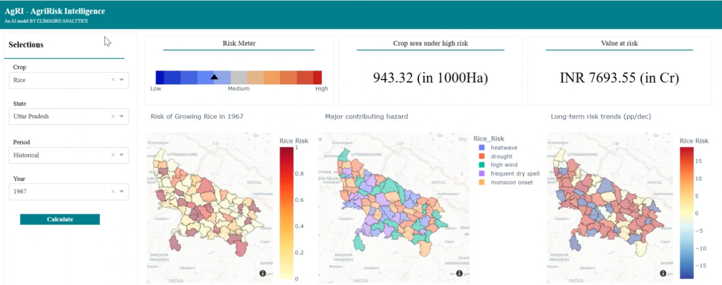
AgRI.ai – Agriculture Risk Intelligence
AgRI.ai is a crop-location-specific risk estimator that uses AI and machine learning to analyze crop-climate interactions through historical data. Integrating diverse datasets, AgRI.ai provides historical, current , short-term , medium-term, and long-term risk assessments.

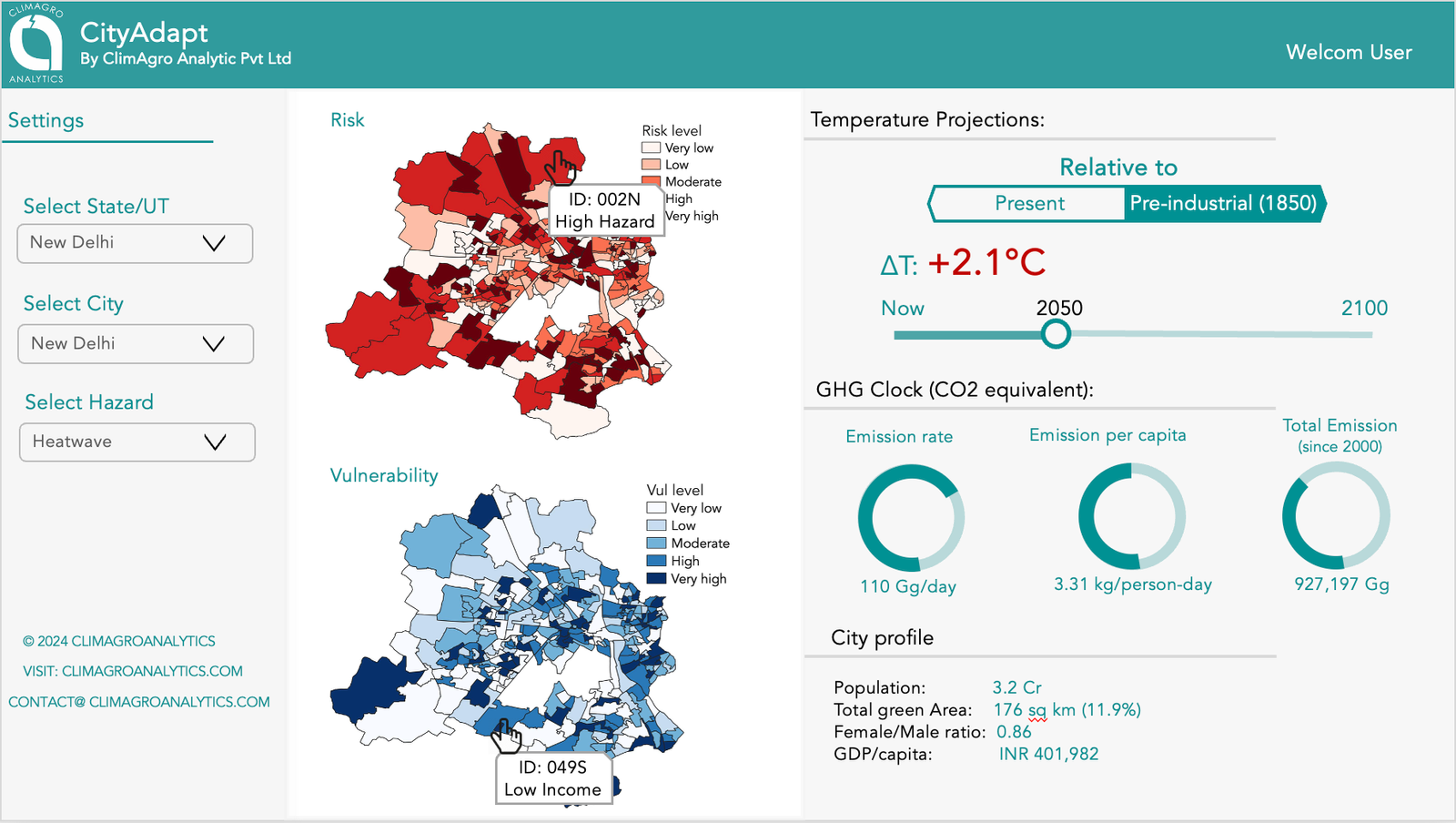
CityAdapt.ai – Urban Climate Risk Intelligence
Gain deep insights into climate risks with ward-level vulnerability assessments and identification of high-risk hotspots. Track projected warming levels up to 2100 with annual updates, monitor greenhouse gas emissions, and access comprehensive socio-economic and demographic profiles to support data-driven urban resilience planning.

Climate Data Portal
Access high-resolution climate and weather hazard maps for heatwaves, droughts, floods, and more. Explore multi-resolution climate data across block, district, and regional levels with flexible temporal scales. Get tailored climate risk mapping for vulnerable regions and sectors, along with sector-specific indices like dry/wet spell frequency and extreme heat days to support informed decision-making.

Climate Consulting Services
Delivering climate risk assessment reports tailored for corporate institutions, enterprises, governments , and NGOs. our services provide sector-specific climate impact analysis to guide effective risk mitigation. We also offer customized climate adaptation and resilience planning to support long-term sustainability and preparedness.

