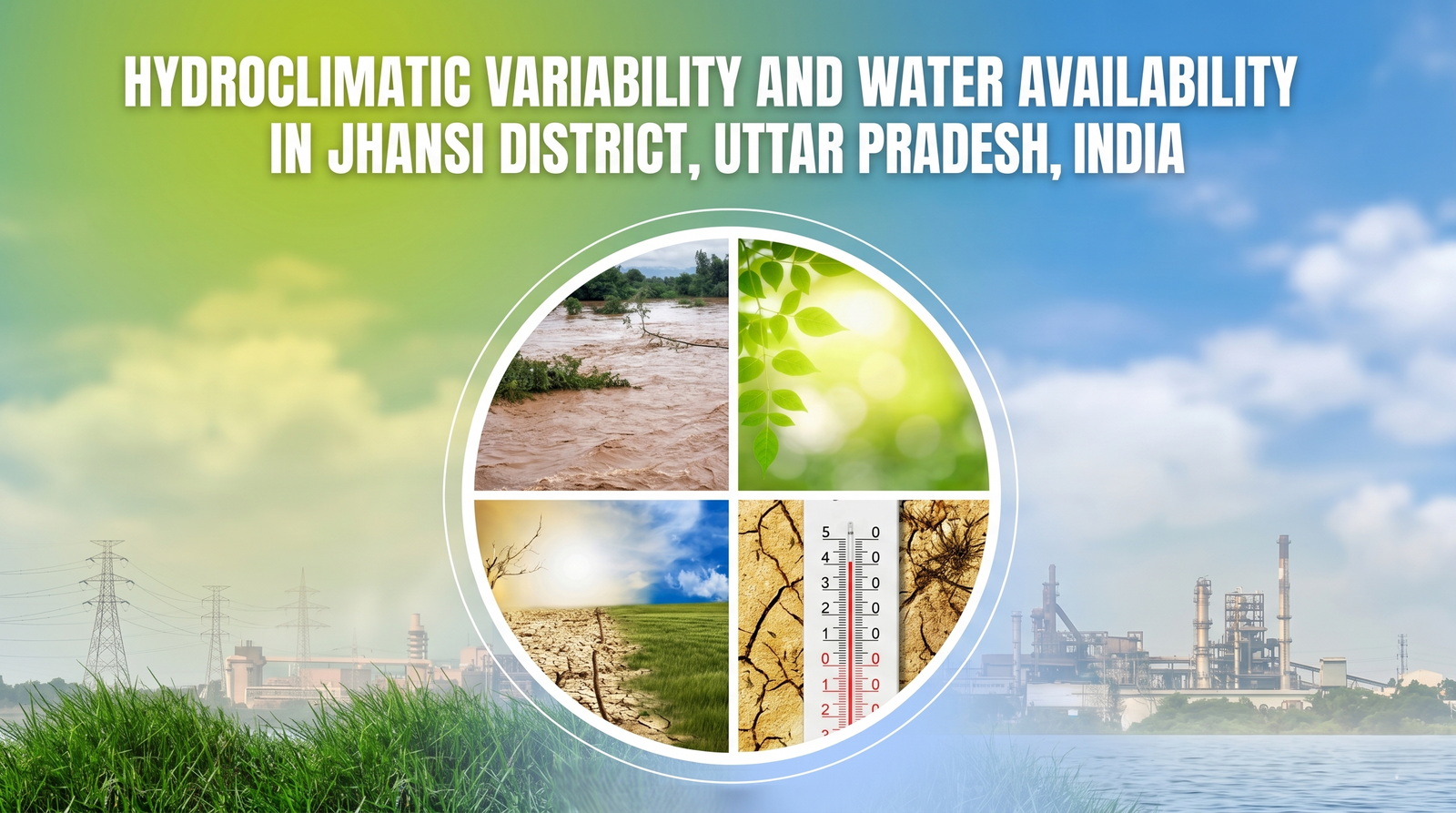
Synergistic Effects of Rising Summer Temperatures & Decreasing Summer Season Rainfall
on Jhansi's Water Availability
Based on Indian Meteorological Department (IMD) daily gridded data 1901-2024
records (1901–2024)
~30% below India avg
temp across years
profiling, Jhansi
A district under compounding
hydroclimatic stress
Hover over any card — or click a stat above — to reveal the full finding. Heat rising, rainfall falling, the monsoon growing less reliable each decade.
Jhansi has the steepest Tx5d rise in Uttar Pradesh. Peak summer maximum reached 44.90°C — draining soil moisture weeks before the monsoon arrives.
Jhansi's summer season rainfall is just 18 mm — only 2% of annual totals. Badagaun, Moth and Gursarai show a persistent declining trend since 1951.
Jhansi averages 830 mm annually — 30% below the India average. Long-term IMD data (1901–2024) shows rainfall declining across most blocks, reducing groundwater recharge.
Moth, Badagaun, Gursarai and Chirgaon face dual decline — drying pre-monsoon seasons and weakening monsoons — creating chronic water scarcity with no seasonal recovery.
Block-by-block
risk profile
Select any of Jhansi's 8 administrative blocks. Access the full report to view the complete climate risk profile for each block.
Get the
complete report
Fill a quick 30-second form to unlock the complete report. Free to access.
Access the Full Report
Includes all 4 spatial figures, block-level trend tables, full methodology, IMD data analysis, and 7 policy-ready recommendations. Free PDF, no paywall.